
Image: www.culinaryartandcraft.com
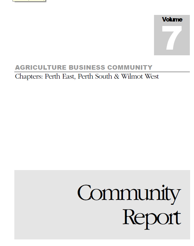
The Agricultural Business Community of Perth East, Perth South & Wilmot West (ABC) struggles to have their arguments and interests more seriously considered by the Ontario Ministry of Transportation in a decision on upgrading and/or rerouting highway 7 & 8 between New Hamburg (Region of Waterloo) and Stratford in southern Ontario (Canada). They recently published their latest Community Report. Observing the power of the Ministry's maps, ABC has decided to recur to the counter power of counter maps in a consultation process in which "Millions have been spent to find out what most farmers who live around here already know". However, what farmers know and argue has, although recognized by the Ministry and its consultants with a polite nod of the head, in the decision-making practice has been largely ignored.
Together with two dedicated and patient ABC volunteers of the committee I worked on a series of maps to visualize a some of arguments ABC has been repeating for more then two years now. Although the report states that the data for the maps were collected in a farm kitchen on March 4, 2011, reality was somewhat more complicated. A huge amount of email crossed over Lake Superior, travelling up and down the 1,600 kms (1,000 miles) that separate the 'kitchen table' from the city in northern Ontario where I live, often with scanned sketches or draft maps attached, in order to get the information complete and error free.
The full report which includes the maps can be accessed from their blogspot.
What do the maps we made show and argue? First of all they show that the analysis of impacts of the proposed new highway route should look not only at the uptake of land as a resource of public interest, but also at farming as a business. This requires additional perspectives and information. Farming, unlike in may other regions of Ontario in this particular area is a strong and viable economic sector. In one of their earlier reports the farmers called it "an agricultural powerhouse". Farming, they argue, is a business that calls to be considered on equal footing with its urban counterparts. Looking at the maps of the Ministry many people think that a farm coincides with the visible lot lines of the original land concessions. Farm businesses however, in order to be viable are much bigger now than they were in the past. We mapped this out by showing the land used by 22 integrated farm business units. The largest of these virtually covers the City of Stratford, the largest population centre in the study area with a population of about 32,000 people, and the Centre of what the Ministry baptized, maybe inspired by the well-know 'Greater Toronto Area' as 'the Greater Stratford Area'.


Old McDonald had a farm ....

.. but his grandson and his neighbour's granddaughter operate a farm business.
... for many purposes they depend on functional transportation links between the multiple sites they operate. We visualized this by illustrating the flows of manure and forage between the different parcels of the sample of 22 farm business units we mapped. A single arrow on the map, often represents a huge amount of activity. A sample of the examples in the report illustrate this:
- One pork producer that is represented on the maps produces 1.5 million gallons of liquid manure that must be spread on both owned and rented land; land that is not contiguous.
- One producer makes over 400 trips annually to plant, harvest and store forage crops.
- Another producer makes over 850 trips per year to spread manure on a patchwork of land units found north and south of highway 7&8.

(click map to enlarge)

The Ministry of Transportation's argument ...

... and farm business owners' argument.

The proposed construction of a stronger transportation network link between cities literally would 'cut' trough a very dense, already existing transportation network vital to the local economy.
this version more clearly illustrates the 'cut' of a proposed network link trough the 'mesh' of a existing, but formerly invisible network. The mesh would become messed up.
Of course this by itself does not mean that the highway shouldn't go. All innovation, change, and renewal inevitably involves "creative destruction" of the past (for example of old McDonald's farm). However, as a society we should considered this cost in order to make a sensible decision. Otherwise we wouldn't move beyond the classic Walmart argument of 'we will create so and so many jobs', but that keeps silence concerning the jobs that are lost together with the existing businesses it wipes of the map.
Lets leave Walmart for what it is and continue with our main argument. For a cost to be considered it first must be made visible. Remote sensing satellites and airborne cameras, so popular nowadays for their supposed objectivity and neutrality could not do this for us. A few 'close' (human) sensors, a kitchen table, and a piece of mapping software together with the necessary dedication and patience however brought outcome!
Lets leave Walmart for what it is and continue with our main argument. For a cost to be considered it first must be made visible. Remote sensing satellites and airborne cameras, so popular nowadays for their supposed objectivity and neutrality could not do this for us. A few 'close' (human) sensors, a kitchen table, and a piece of mapping software together with the necessary dedication and patience however brought outcome!
If this reversal turns out to be politically non-viable at this stage of the decision making process the maps should switch to Plan B: argue for a design that includes the transportation needs of the agricultural sector. Keeping open local south-north roads (fly-overs, tunnels) and access management are key.
The farm business group uses their maps not only to open the eyes of the Ministry of Transportation and its consultants , but also to lobby draw support from Members of Parliament and municipals government for their case.
Note: The opinions expressed here, unless explicitly attributed to others, are strictly those of the author.